0%
- Airframe
- Terrain
- Flight path
- Optics
- Shaders

R7 · Autonomous recon
See the ground
before you
stand on it.
A two-metre drone that maps terrain, tracks movement and streams it home in real time. No pilot, no runway.
AD steer · Shift boost
01 — Optics
Two eyes.
One picture.
A stacked daylight and thermal pair, fused on board, so R7 keeps seeing through haze, smoke and the last hour of dusk.
- Zoom
- 30×
- Thermal
- 640 px
02 — Endurance
Quiet by
design.
A shrouded tail rotor and a composite airframe keep the acoustic signature low and the time on station long.
- Endurance
- 9 h
- Noise at 120 m
- 38 dB
03 — Deploy
Launch from
anywhere.
Packs into one case, launches by hand, lands on its skid. Eyes on target in under three minutes.
Request a briefing(00) Vantrel Aerospace
Founded 2024 · Zürich
We build small autonomous aircraft for the people who go first. So they see what’s ahead before they’re in it.
Recon only, no weapons, ever
Designed and built in Europe
The aircraft informs · a person decides

(01) First aircraft
R7
Length
2.0 m
Mass
4.6 kg
Endurance
9 h
Link
14 km
(02) Capabilities
Everything a patrol needs from the air. Nothing it has to babysit.
R7 flies itself between waypoints, holds a stable stare on anything you point at, and comes home on its own when the battery or the link says so.
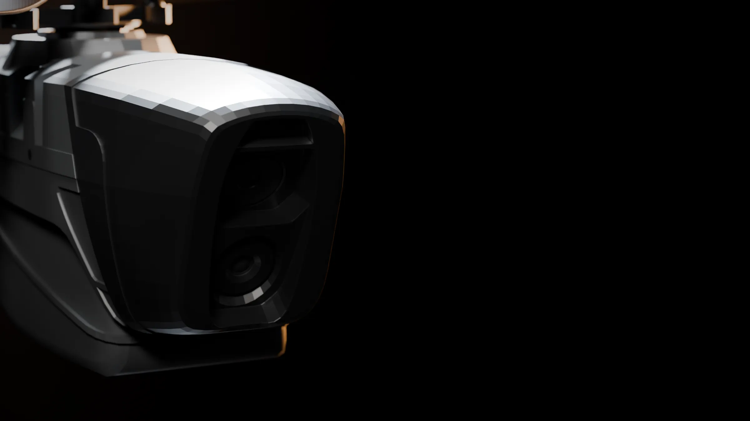
EO / IR gimbal
Sees through haze, smoke and the last hour of dusk.
A 30× daylight zoom and a 640 px thermal core, fused on board into one stabilised feed.
Endurance
On station, per battery swap.
9 h
Acoustic
38 dB at 120 m
Quieter than a conversation across a room.
GNSS-denied navigation
Keeps its place when GPS is jammed.
Visual-terrain matching against an on-board elevation map holds position to within a few metres.
Mesh link
14 km, relayed aircraft to aircraft.
Each R7 is also a radio relay, so the formation carries the link over ridgelines a single aircraft would lose.
(03) Sightline OS
One operator. Three aircraft. One picture.
Sightline fuses three R7 feeds into a single live map. The aircraft propose tracks; only the operator can confirm one.
Sightline · Mission ALPINE-04 · Sector 7
● Live

(04) Field trial · Alpine valley, 2026
“We put three aircraft up from a lay-by and had the valley mapped before the vehicles reached the treeline.”
MK
Exercise lead
Alpine search-and-rescue trial (name withheld)
Endurance
9 h
On station per battery swap
Link range
14 km
Line of sight, relayed further
Acoustic
38 dB
At 120 metres altitude
Case to air
3 min
One person, no tools
(05) How we build
Four lines we don’t cross.
01
Recon, not strike.
R7 carries cameras, not payloads. We don’t build weapons, and we don’t sell airframes to anyone who intends to arm them.
02
A person decides.
Sightline proposes tracks; only an operator can confirm one. Every decision is logged with who made it and what they saw.
03
Your data stays yours.
Missions are encrypted on the aircraft and the ground station. Nothing phones home to us, and there is no cloud to breach.
04
Fixable in the field.
Rotor, boom and battery swap by hand in minutes. The spares kit fits in the same case as the aircraft.
Get Template
$200